Tropical Activity Atlantic - Tropical Storm Henri - WSP USA Inspection Services
←
→
Page content transcription
If your browser does not render page correctly, please read the page content below
August 20, 2021

Tropical Activity
Atlantic – Tropical Storm Henri
    ·     Henri is located 800 miles south-southwest of
          Nantucket, Massachusetts and is moving WNW.
    ·     The storm is expected to strengthen into a
          hurricane over the Atlantic.
    ·     Henri is forecast to turn toward the northwest
          on Friday, followed by a turn toward the north
          and eventually the north-northeast.
    ·     A hurricane watch has been issued for Long
          Island from Fire Island Inlet and from Port
          Jefferson Harbor eastward, as well as from New
          Haven, Connecticut, to Sagamore Beach,
          Massachusetts, including Nantucket, Martha's Vineyard and Block Island.
    ·     A tropical storm watch has been issued west of Fire Island Inlet to East Rockaway Inlet, west of
          Port Jefferson Harbor and west of New Haven.
    ·     A storm surge watch has also been issued for the south shore of Long Island from East Rockaway
          Inlet eastward to Montauk, on the north shore of Long Island from Kings Point eastward to
          Montauk, as well as from Kings Point to Sagamore Beach, Massachusetts, including Nantucket,
          Martha's Vineyard and Block Island.

Flood Activity
North Carolina
    ·     Gov. Roy Cooper declared a state of emergency as western North Carolina saw intense flooding,
          with nearly 100 people rescued, after Fred drenched the state as a tropical depression earlier in
          the week.
    ·     Yesterday, Governor Roy Cooper surveyed flood damage from Tropical Storm Fred, visiting the
          Town of Canton and the community of Cruso in Haywood County.
    ·     The storm that blew through the area Tuesday made roads impassable, washed out bridges and
          swamped homes and businesses.
    ·     Monday and Tuesday marked the heaviest two-day rainfall in more than 50 years in Buncombe
          County, which includes Asheville, and neighboring Haywood County endured the worst of the
          storm, Cooper said in a news conference Wednesday.
    ·     The number of people unaccounted for in Haywood County since the start of Tropical
          Depression Fred has gone from 20 to 17 as of late Thursday, said Allison Richmond, Haywood
          County Emergency Services spokeswoman. Two deaths have been reported.
    ·     Damage to roadways and bridges was significant, with at least 10 to 15 bridges damaged or
          destroyed, she said. About 200 search and rescue personnel were going home to home along
          the Pigeon River.

1   The Daily DART is a publication of WSP USA Inc. All rights are reserved.
    Any unauthorized use, disclosure, viewing, copying, alteration, dissemination or distribution without permission is strictly prohibited.
August 20, 2021
· “We have homes that are completely destroyed and off their foundations,” Sheriff Greg
Christopher said. “Mobile homes that were moved, and mobile home parks that I would call
completely destroyed.”
· Haywood County Board of Commissioners Chair Kevin Ensley said damage done to structures as
a result of the storm totals about $300 million in the small Haywood unincorporated community
of Cruso, which is considered the hardest hit by Fred. Ensley said 225 structures, including
homes, were destroyed.
· Flood damage totals from Tropical Storm Fred's rains in Transylvania County reached more than
$11.2 million by Thursday afternoon. County officials expect the number to increase
significantly as more sites are identified and assessed over the next few days, according to news
release from the county.
· As of noon, on Wednesday, 25 structures had been identified as damaged or uninhabitable and
five roadways seriously damaged. Crews continue to assess damage, so staff expects the
numbers to "escalate significantly."
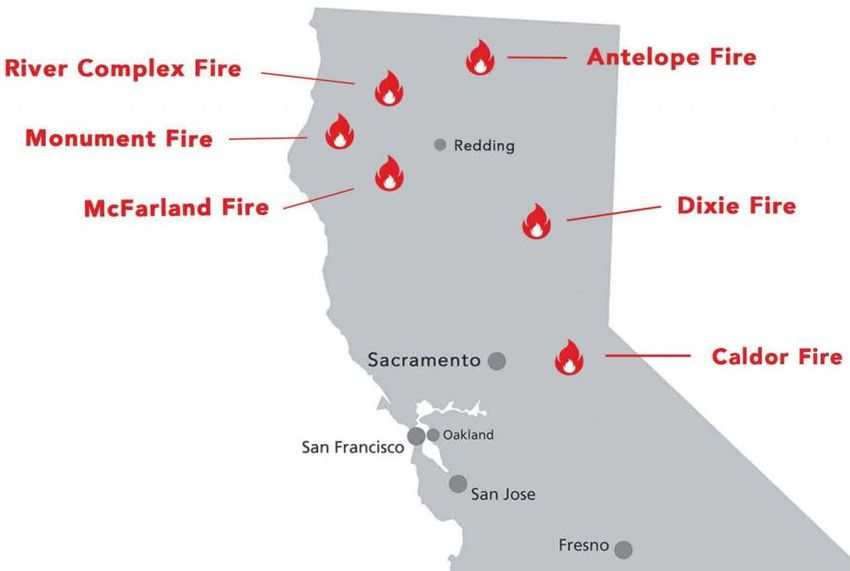
Wildfire Activity
California – Caldor & Dixie Fires
· Fueled by wind and dry conditions, the Caldor Fire
burning in El Dorado County in Northern California
has scorched 65,474 acres of land so far and grew
10 times in size in just 48 hours.
· The latest data released by the California
Governor's Office of Emergency Services on
Thursday revealed that 25,000 people had been
evacuated in El Dorado county due to the fast-
moving fire. There are 653 firefighters battling the
fire, which is zero percent contained.
· As of Thursday, the California Department of Forestry and Fire Protection (Cal Fire) said 86
structures had been confirmed destroyed by the fire and nearly 7,000 structures remain
threatened.
· Meanwhile, the Dixie Fire, California's second largest in history which has been active for more
than a month, also swelled more than 60,000 acres in two days.
· It prompted a new round of evacuation orders on Wednesday as gusty winds helped spread the
fire within about 15 km of Susanville, a town with 15,000 residents.
· The Dixie Fire, the nation's largest active fire, burned down 678,369 acres with 35 percent
containment as of Thursday, about three times the size of Manhattan.
· It had destroyed more than 1,200 structures, including 645 single residences, Cal Fire said. At
least 16,085 structures were still threatened by the flames.
2 The Daily DART is a publication of WSP USA Inc. All rights are reserved.
Any unauthorized use, disclosure, viewing, copying, alteration, dissemination or distribution without permission is strictly prohibited.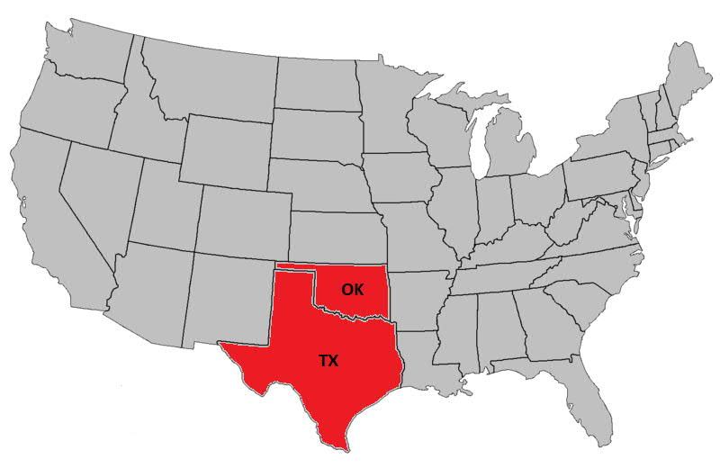
August 20, 2021
Joint Preliminary Damage Assessments
Number of Counties for IA
State Event Start-End
Requested Completed
CA August Wildfires 6 4 8/11-TBD
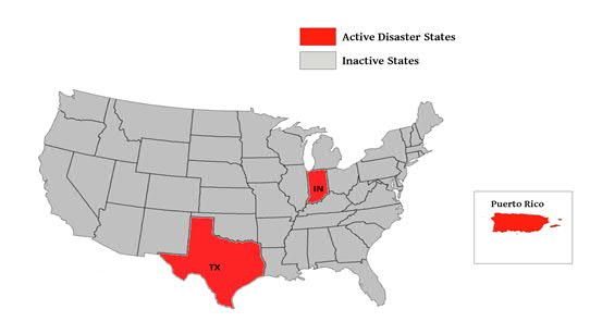
WSP USA Inspection Services Active Disasters
Disaster Number Number of Counties Days Since Registration
Disaster Type
and State Declared Launch Deadline
4586 TX Severe Ice Storm 129 Counties 179 5/20/2021
4595 KY Severe Storms & Flooding 31 Counties 111 7/23/2021
4607 MI Severe Storms & Flooding 2 Counties 31 9/13/2021
WSP USA INSPECTION SERVICES ACTIVITY
3 The Daily DART is a publication of WSP USA Inc. All rights are reserved.
Any unauthorized use, disclosure, viewing, copying, alteration, dissemination or distribution without permission is strictly prohibited.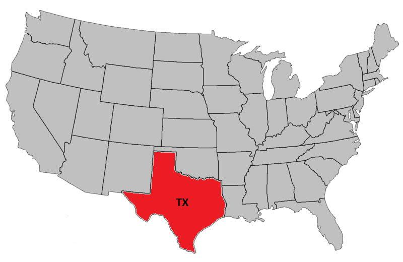

You can also read